Publication year:
2021
English, French
Format:
PDF (6.3 MiB)
Publisher:
Save the Children US,USAID, US Agency for International Development
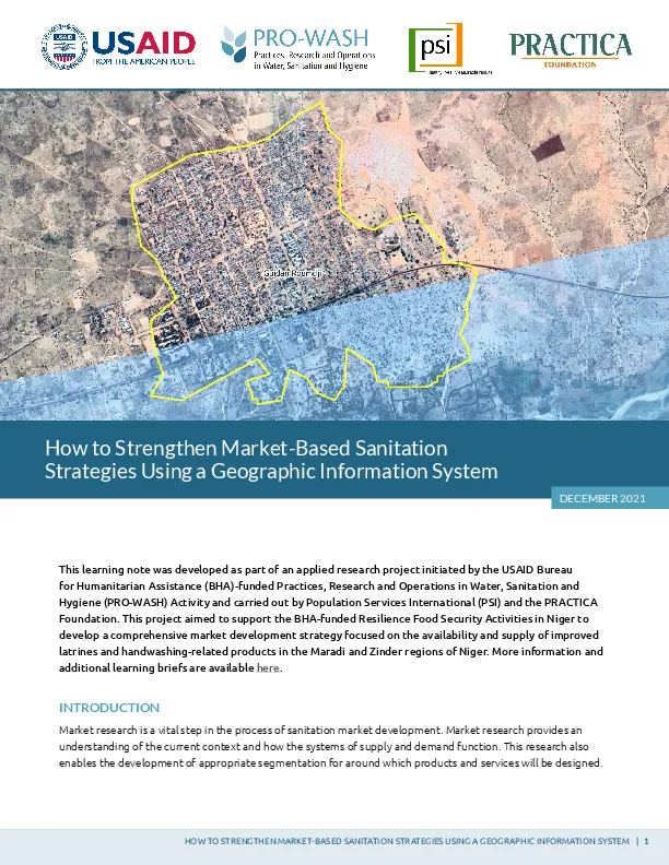
This learning note presents the main ideas behind a basic approach to using a geographic information system (GIS) to establish geographic segmentation as part of a market-based sanitation (MBS) strategy. Use of a GIS assumes that the most densely populated, most accessible zones are characterized by a more dynamic economy, making them easier to tap into to develop a sanitation market that is currently nonexistent or, at best, barely exists. This project aimed to support the USAID Bureau for Humanitarian Assistance (BHA)-funded Resilience Food Security Activities in Niger to develop a comprehensive market development strategy focused on the availability and supply of improved latrines and handwashing-related products in the Maradi and Zinder regions of Niger.
Read full abstract
Autodetected language
English
1 Documents
Other languages
Format
Region
Topics
Rights
© Author/Publisher
If you have noticed a document assigned to the wrong author or any other inaccuracies, let us know! Your feedback helps us keep our data accurate and useful for everyone.
![]() Subscribe and receive reading selections
Subscribe and receive reading selections
![]() Save all your favorite materials for future use
Save all your favorite materials for future use
Share
Link